It is the middle of summer, and the need to irrigate crops is increasing. In the context of a water shortage, the demand for artesian wells is growing in several regions, and technological innovation can play a pivotal role.
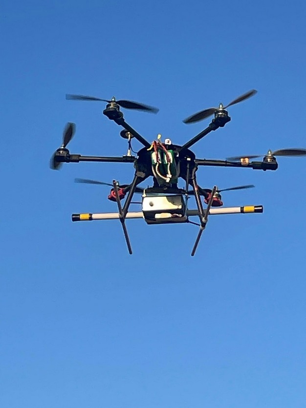
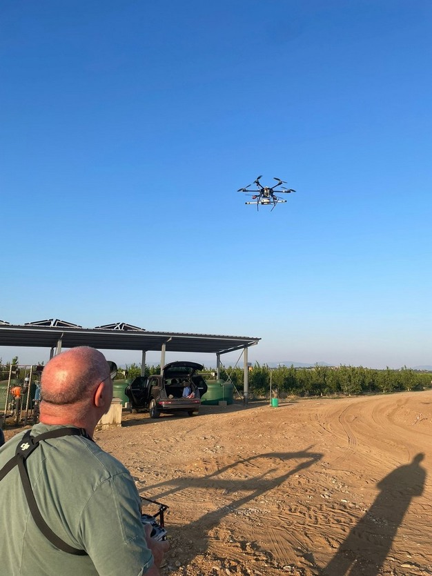
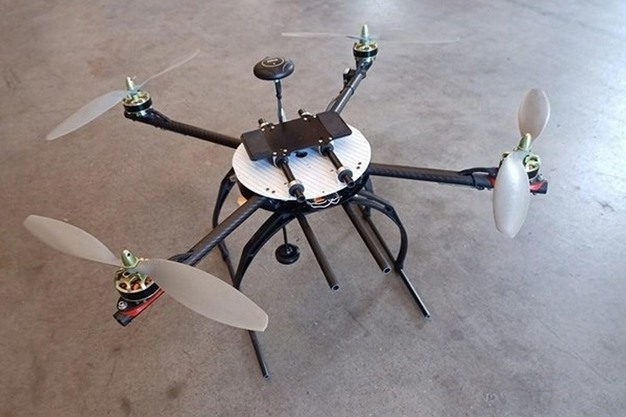
Hydro Hunter Italia, a company that specializes in subsurface water exploration using remotely piloted aircraft, has improved its methods and tools to make prior satellite-based feasibility assessments more accurate. These improvements enable Hydro Hunter Italia to estimate the likelihood of finding water in specific subsurface areas.
 © Hydrohunter Di Tamburrino Daniela © Hydrohunter Di Tamburrino Daniela |
 © Hydrohunter Di Tamburrino Daniela © Hydrohunter Di Tamburrino Daniela |
Vincenzo Orso, a drone pilot at Hydro Hunter Italia, explains how this new technology significantly increases accuracy and success rates. “The customer is now provided with a geological report designed to be simple and easy to understand, even for non-experts. It contains a few technical terms. The report also includes the probability of finding water.”
Orso emphasizes the company’s ongoing efforts to improve the system’s accuracy. “With the help of an electrical engineer, we are developing a tool that will raise the predictive success probability from 80 percent to between 90 and 92 percent, thereby enhancing its accuracy.”
 © Hydrohunter Di Tamburrino Daniela
The geologists at Hydro Hunter Italia can detect subsurface anomalies that may indicate the presence of aquifers, rivers, or underground lakes. Their ability to determine whether the detected water is flowing or stagnant is also crucial.
However, Vincenzo Orso points out an area of current limitation: “We are not yet able to distinguish between saltwater and freshwater. Nevertheless, the technology makes it possible to indicate with certainty whether water is present.”
 For more information:
Hydro Hunter Italy
Grosseto – Italy
+39 3510012837
[email protected]
hydrohunter.com

Source: The Plantations International Agroforestry Group of Companies